What began as aerial services revealed golf’s distinct problem. FlagMate™ solved it—delivering actionable data.

Our Specialized Drone Services
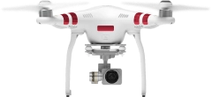
Aerial imaging and data capture supporting golf courses, real estate, and community projects.
Actively Track.
Precisely Log.
Verify Hole Pins.
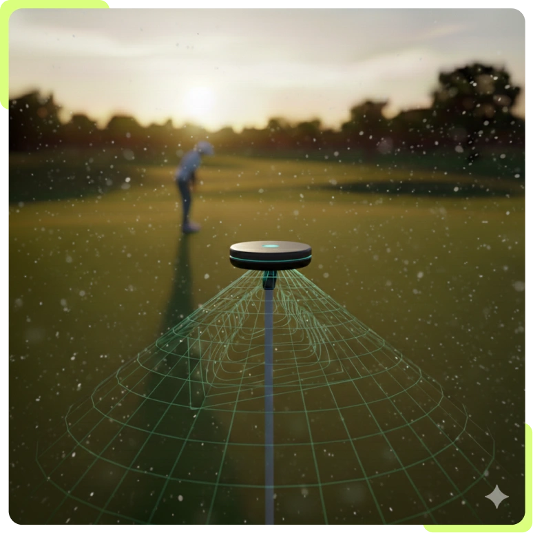
FlagMate™ tracks every hole placement with pinpoint accuracy, providing verified data with zero added workload.
Why Golf Courses & Partners Work with Us
A disciplined, compliance-driven foundation paired with a scalable golf technology platform.

The FlagMate™ Platform
A purpose-built system for automated golf hole location tracking, delivering consistent, verifiable placement data without manual logging.

Meticulous Flight & Data Standards
Founded on technical discipline and aviation best practices, it ensures consistent capture quality and repeatable operational workflows.

FAA Part 107 Certified & Insured
Fully compliant, commercially licensed, and insured for professional aerial operations.

Operational Imaging & Mapping Experience
Experience capturing aerial imagery and site data across golf, real estate, and community environments — informing product development and real-world use cases.


From Aerial Insights to Engineering Proof
FlagMate™ wasn’t built in a lab—it was forged through thousands of acres of aerial mapping and real-world golf course experimentation.
The Metric:
Sub-Foot Accuracy
We have validated precision tracking with sub-foot accuracy for every hole location.
The Validation:
Passive Automation
Our field tests proved that hole locations can be logged with zero manual input, removing human error from course data.
The Opportunity:
Pilot Program
We are currently identifying forward-thinking clubs to join our final phase of production-ready deployment.
FlagMate™ is Online.
Are You Game?
Getting on par with golf’s smartest system is just one click away.
Explore FlagMate™